Google Earth

This isn’t baseball-related but I thought I’d pass it on.  If you haven’t checked out Google Earth, it’s really worth a look.  Google Earth allows you to view any place on the Earth via satellite imagery.  Google combines the usual mapping interfacing (i.e directions, nearest businesses etc.) with this and it becomes a useful tool. Here is a … Continue reading “Google Earth”

This isn’t baseball-related but I thought I’d pass it on.  If you haven’t checked out Google Earth, it’s really worth a look.  Google Earth allows you to view any place on the Earth via satellite imagery.  Google combines the usual mapping interfacing (i.e directions, nearest businesses etc.) with this and it becomes a useful tool.

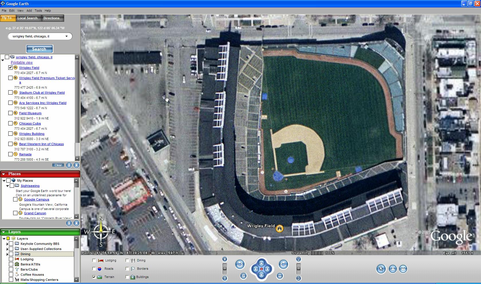
Here is a screen shot showing a closeup of Wrigley Field (click for larger image). 

wrigleyGE.jpg

You can download the free program from Google Earth’s page.  You must have a relatively new computer with the video capabilities to handle the imagery.


Leave a Reply

Your email address will not be published. Required fields are marked *

This site uses Akismet to reduce spam. Learn how your comment data is processed.